
基本信息
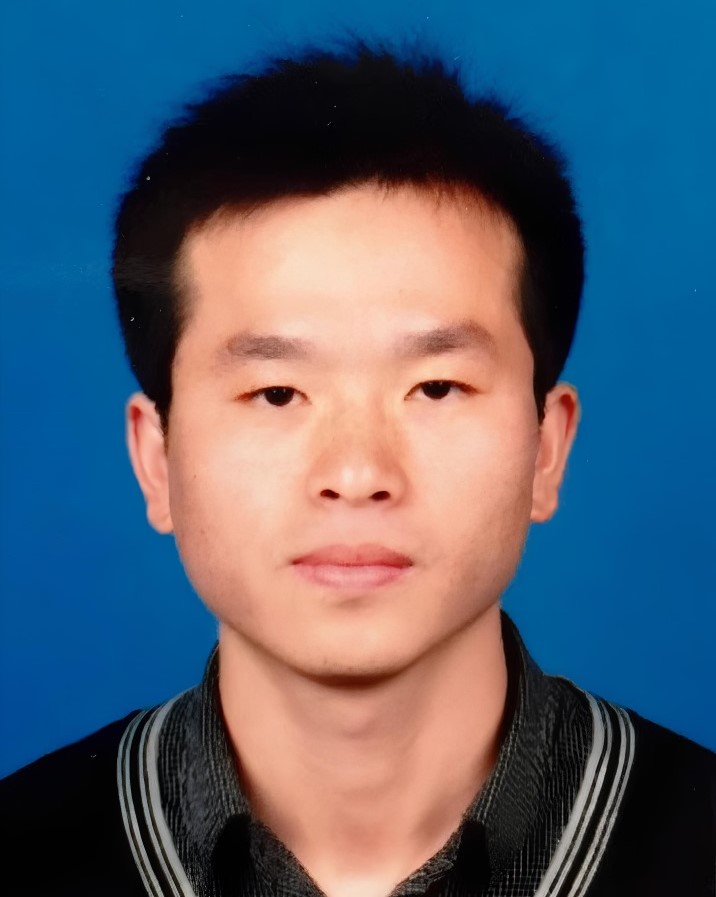
邵杰 男 硕导 中国科学院空天信息创新研究院
电子邮件: shaojie@aircas.ac.cn
通信地址: 北京市海淀区邓庄南路9号
邮政编码: 100094
电子邮件: shaojie@aircas.ac.cn
通信地址: 北京市海淀区邓庄南路9号
邮政编码: 100094
研究领域
地理空间智能(GeoAI)
激光雷达感知计算 / 高分辨率影像智能解译
植被生态 / 智慧城市与可持续发展等
招生信息
欢迎遥感测绘、地理信息、电子信息、计算机相关专业同学报考!
主要研究方向:
1. 遥感影像智能解译(变化检测/语义分割/目标识别等)
2. 三维点云获取、处理和智能计算(植被生态/智慧城市/空间考古等方向)
3. 多模态数据挖掘与城市可持续发展(绿色空间/城市格局评估等)
4. 新体制传感器的目标探测和信息处理(激光雷达/光学)
每年招收硕士研究生1名,团队还常年招收客座联培生(硕士生/博士生),欢迎加入!
教育背景
2017-12--2018-12 法国图卢兹大学 联合培养博士2016-09--2020-06 北京师范大学 博士
工作经历
工作简历
2024-09~现在, 中国科学院空天信息创新研究院, 副研究员2021-08~2024-07,香港理工大学, 博士后2020-10~2021-07,中山大学, 博士后
社会兼职
2025-01-01-今,国际数字地球学会中国国家委员会青年科学家工作委员会, 委员
专利与奖励
奖励信息
(1) 全国激光雷达优秀博士学位论文奖, 其他, 2022(2) 中国农业科学院科学技术成果奖·杰出科技创新奖, 院级, 2016
出版信息
发表论文
(1) Deep learning with geographical post-processing optimization: an integrated framework for detecting qanat activity states, Journal of Archaeological Science, 2026, 第 5 作者(2) SAR in Archaeology (1980–2024): Forty-five years of progress and future frontiers, IEEE Geoscience and Remote Sensing Magazine, 2026, 第 2 作者 通讯作者(3) BuildingCD-Mamba: An Efficient Shuffle-Scan Mamba with Temporal-Spatial Feature Fusion for Urban Building Change Detection, Information Fusion, 2026, 第 2 作者 通讯作者(4) Geospatial big data-driven roof greening priority and benefit assessment in Hong Kong, Remote Sensing of Environment, 2025, 第 1 作者 通讯作者(5) The impact of leaf-wood separation algorithms on aboveground biomass estimation from terrestrial laser scanning, Remote Sensing of Environment, 2025, 第 14 作者(6) Urban GeoBIM construction by integrating semantic LiDAR point clouds with as-designed BIM models, IEEE Transactions on Geoscience and Remote Sensing, 2024, 第 1 作者(7) Spectral harmonization Landsat-8 and Sentinel-2a: the matching bands adjustment before the missing bands prediction method, IEEE Transactions on Geoscience and Remote Sensing, 2024, 第 2 作者 通讯作者(8) UB-FineNet: Urban building fine-grained classification network for open-access satellite images, ISPRS Journal of Photogrammetry and Remote Sensing, 2024, 第 3 作者(9) SLAM-based forest plot mapping by integrating IMU and self-calibrated dual 3-D laser scanners, IEEE Transactions on Geoscience and Remote Sensing, 2023, 第 2 作者 通讯作者(10) One Class One Click: Quasi scene-level weakly supervised point cloud semantic segmentation with active learning, ISPRS Journal of Photogrammetry and Remote Sensing, 2023, 第 3 作者(11) A general and effective method for wall and protrusion separation from facade point clouds, Journal of Remote Sensing, 2023, 第 5 作者(12) Efficient co-registration of UAV and ground LiDAR forest point clouds based on canopy shapes, International Journal of Applied Earth Observation and Geoinformation, 2022, 第 1 作者(13) Estimation of larch growth at the stem, grown, and branch levels using ground-based LiDAR point cloud, Journal of Remote Sensing, 2022, 第 3 作者 通讯作者(14) Eighteen years (2001-2018) of forest habitat loss across the Asian elephant's range and its drivers, Science Bulletin, 2022, 第 10 作者(15) Single scanner BLS system for forest plot mapping, IEEE Transactions on Geoscience and Remote Sensing, 2021, 第 1 作者(16) A novel and efficient method for wood-leaf separation from terrestrial laser scanning point clouds at the forest plot level, Methods in Ecology and Evolution, 2021, 第 2 作者 通讯作者(17) Seed point set-based building roof extraction from airborne LiDAR point clouds using a top-down strategy, Automation in Construction, 2021, 第 1 作者(18) Cloth simulation-based construction of pit-free canopy height models from airborne LiDAR data, Forest Ecosystems, 2020, 第 4 作者(19) SLAM-aided forest plot mapping combining terrestrial and mobile laser scanning, ISPRS Journal of Photogrammetry and Remote Sensing, 2020, 第 1 作者(20) Automated markerless registration of point clouds from TLS and structured light scanner for heritage documentation, Journal of Cultural Heritage, 2019, 第 1 作者(21) Airborne and spaceborne remote sensing for archaeological and cultural heritage application: a review of the century (1907-2017), Remote Sensing of Environment, 2019, 第 12 作者(22) Estimation of forest leaf area index using terrestrial laser scanning data and path length distribution model in open-canopy forests, Agricultural and Forest Meteorology, 2018, 第 5 作者(23) 交替误差补偿的无人飞艇位姿估计, 计算机辅助设计与图形学学报, 2013, 第 1 作者(24) 三维激光雷达与CCD影像融合的研究, 中国激光, 2013, 第 1 作者
发表著作
(1) 中国农业灾害遥感监测(病害卷), 中国农业科学技术出版社, 2017-01, 第 4 作者
科研活动
科研项目
( 1 ) 城市森林制图与可持续发展应用, 负责人, 中国科学院计划, 2025-01--2029-12( 2 ) 三星堆遥感探测与空间考古研究, 负责人, 境内委托项目, 2024-12--2025-11( 3 ) 数据优化视角下背包LiDAR大样地立木胸径精准提取研究, 负责人, 国家任务, 2024-01--2026-12( 4 ) 基于无人机LiDAR获取森林样地每木三维结构研究, 参与, 国家任务, 2020-01--2023-12