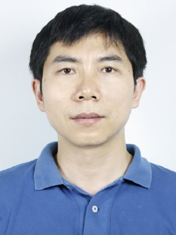
I am a young researcher in the field of Geospatial Information Systems and Technologies with research interests in remote sensing, photogrammetry, geographic information systems (GIS), and their applications in large-area environmental monitoring and assessments. Remote sensing provide valuable data collection and monitoring tools, especially in regional and global-scale studies when field data collection is difficult and expensive, while GIS is a powerful tool for spatial data analysis and integration of various dimensions of our world. My career goal is to develop a regional remote sensing mapping methodology for environmental assessment and water management in arid land of Central Asia. My current employer is in the central of Central Asia, and there a lot of geographical and ecological scientific questions to be studied, and remote sensing and GIS provide a effective tool to address natural resources and environmental issues. Now I am working on Cental Asian lake dynamics, environmental assessment and water resource management, so as to understand lake changes in the context of climate change and human activites, through several ongoing China NSF and national funded projects.
Research Areas
Landsat Data Processing, Lake and Glacier Mapping, Lake Dynamics and Climate Change, Central Asia
Education
Ph.D. Photogrammetry and Remote Sensing, Wuhan University, 2007
B.S. Geographic Information Sciences, Wuhan University, China, 2002
Experience
2008-2010, Department of Geography, University of California, Los Angeles(UCLA), Posdoc researcher,
2017-2018, Department of Geology and Geography, West Virginia University, Visiting Scholar
Work Experience
2007-present, Xinjiang Institute of Ecology and Geography, Chinese Academy of Science
Publications
Research Interests
lake dynamics and its response to climate change and human activities in Central Asia
Research Grants
1. Chinese National key research and development program(2018-2021): "Water Resource Use and Management in Tarim River and its Ecological Reponse." ¥ 2 000,000. PI: Junli LI
2. Xinjiang Government Funds, Water resource (2016-2018). "Volume Change Mechanisms of the Disappearing Chaiwopu Lake in the Last 50 Years." ¥ 700,000. PI: Junli LI
3. Chinese Ministry of Science and Technology Funds(2011-2014). "High-resolution Remote Sensing Mapping and Monitoring of International River Water Resource in Xinjiang and Central Asian Countries. " ¥ 1,330,000. PI: Junli LI
4. Chinese Academy Sciences, Key Deployment Project (2012-2016). "Key Scientific Question in Central Asian Resource and Environments." ¥ 2,200,000. PI: Junli LI
5. China NSF, General Projects (2012-2015). "Remote Sensing based Lake Mapping and Spatio-temporal Changes of Arid Regions of Central Asia in the last 50 years." ¥ 280,000. PI: Junli Li
6. China NSF, Young Scientist Project(2011-2014). " Spatio-temporal process of alpine lake changes in the context of climate change." ¥ 500,000. PI: Junli Li
7. Xinjiang Science Funds, General Projects (2010-2013) "Glacial Lake Water Resource Changes and its Spatio-temporal Changes in the Last 50 Years." ¥ 70,000. PI: Junli Li
8. Chinese Academic Science, Young Scholar Funds. (2009-2011). "Evapotranspiration Retrieval of MidAsia Arid/Semi-Arid Regions and Simulation of its Hydrological Effects in Spatial Pattern &Temporal Process ". ¥ 500,000. PI : Junli LI
